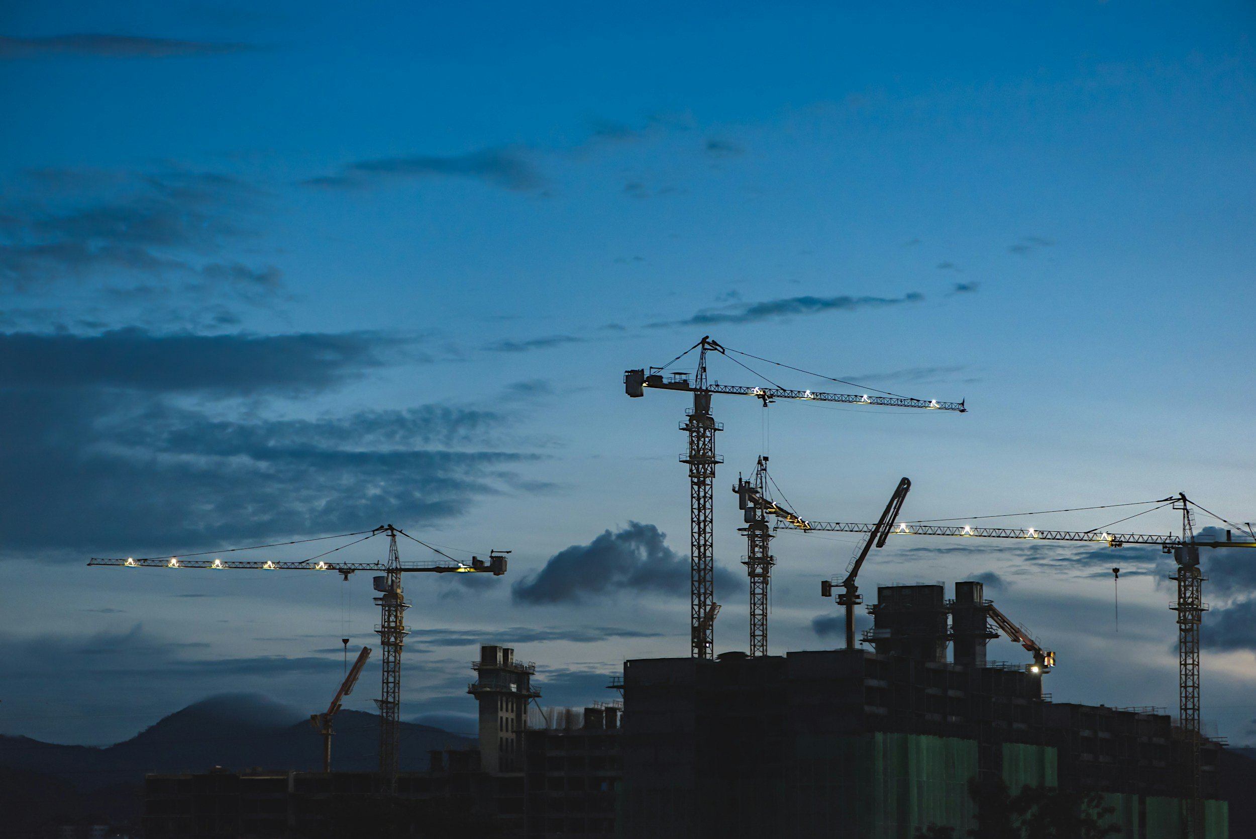
construction
Waterdog UAS provides aerial mapping, progress monitoring, and site documentation that helps construction teams improve communication, track progress, and make informed decisions throughout every phase of a project.
Why drones for construction?
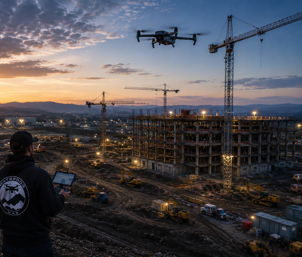
From groundbreaking to project completion, aerial data provides construction teams with a comprehensive view of the jobsite. Drone technology helps improve planning, monitor progress, document milestones, and keep stakeholders informed without disrupting daily operations.
our construction services
-
Capture repeatable aerial imagery to document project milestones and monitor progress from start to finish.
-
Generate high-resolution maps and orthomosaic imagery for planning, coordination, and project documentation.
-
Track site development, grading progress, and overall project conditions with consistent aerial imagery.
-
Safely inspect bridges, retaining walls, roofs, towers, and other structures during construction.
-
Provide contractors, owners, and project managers with a complete aerial perspective of the entire project site.
-
Create professional aerial photos and videos for reports, marketing, stakeholder updates, and historical records.
Keep your project moving forward
Whether you're managing commercial developments, infrastructure improvements, or residential construction, Waterdog UAS delivers reliable aerial solutions that help keep your project on schedule.