Forestry
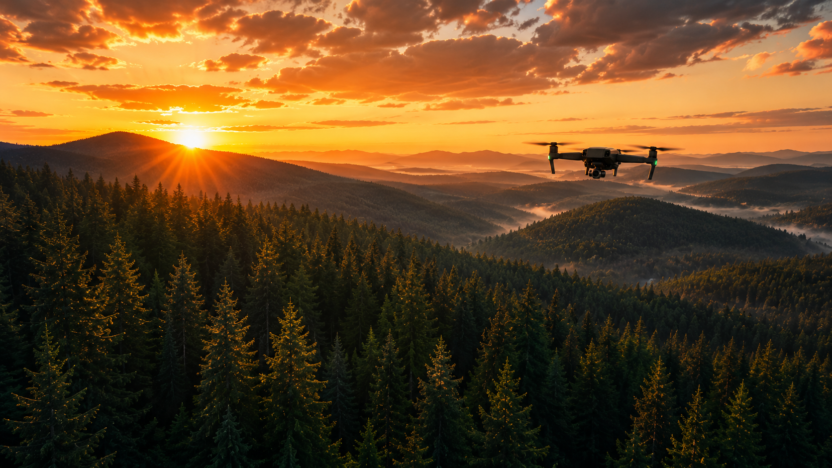
Using advanced aerial imaging and mapping, Waterdog UAS helps forestry professionals monitor land, inspect hard-to-reach areas, and make informed management decisions while reducing time spent in the field.
-
Generate detailed aerial maps that support planning, road access, harvest preparation, and property management.
-
Document wildfire impacts, assess burn severity, and provide aerial imagery for recovery planning, insurance documentation, and land management.
-
Locate heat signatures, identify equipment concerns, monitor controlled burn areas, and assist with situational awareness.
-
Accelerate forest recovery through efficient aerial seeding and precision application.
-
Track planting progress and monitor regeneration success over time with repeatable aerial surveys.
-
Identify areas of excessive vegetation growth, invasive species, or changing forest conditions that may require management.
-
Safely inspect difficult-to-access terrain without exposing personnel to unnecessary hazards.
Our forestry services
Built for remote operations

Waterdog Resources has years of experience supporting wild land fire operations throughout the western United States. That experience has shaped our commitment to safety, reliability, and efficient operations in some of the most challenging environments. Today, Waterdog UAS brings that same professionalism to forestry, natural resource management, and aerial data collection.
Why choose Waterdog uas?
✓ Access rugged terrain without putting crews at risk
✓ Collect accurate aerial data quickly and efficiently
✓ High-resolution RGB and thermal imagery
✓ FAA Part 107 Certified Operations
✓ Reliable reporting for planning and decision-making
✓ Safer alternative to manual inspections
Ready to Support Your Next Forestry Project?
Whether you're managing timberland, restoring wildfire-affected areas, or monitoring remote forests, Waterdog UAS delivers reliable aerial solutions tailored to your needs.