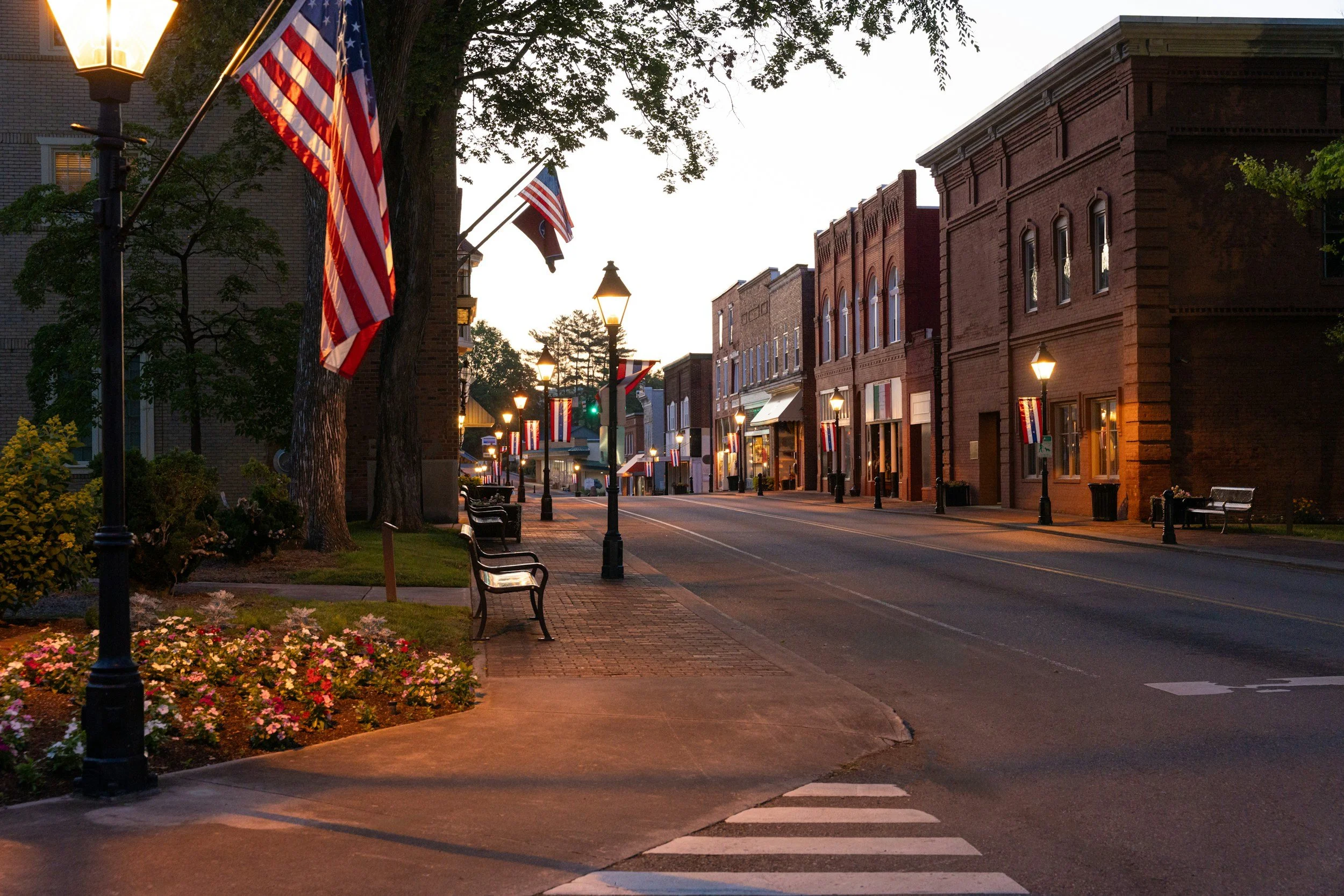
Municipalities
Waterdog UAS provides municipalities with efficient aerial inspections, mapping, and data collection to help manage infrastructure, improve public safety, and support informed decision-making.
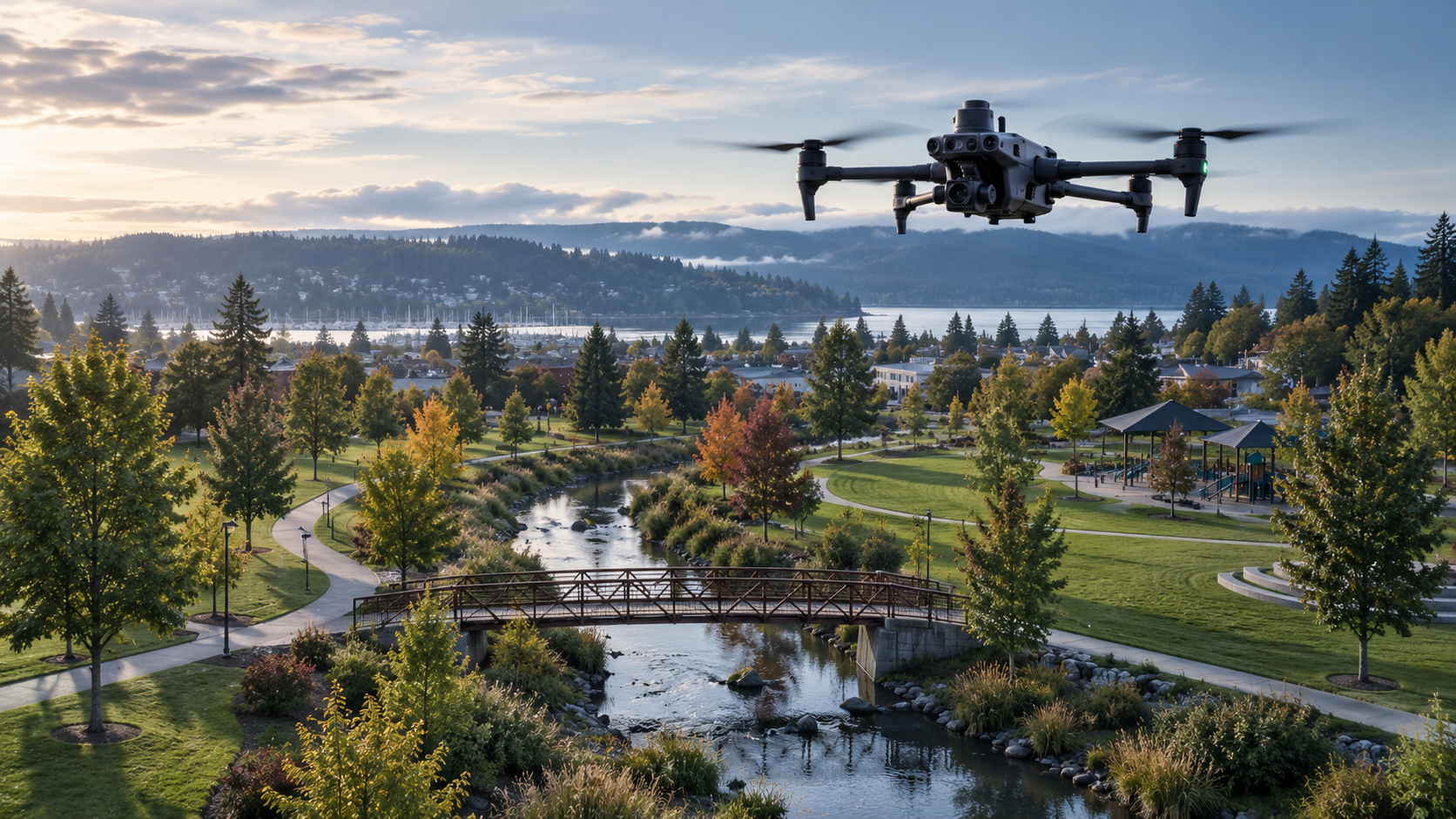
why municipalities use drones
Public agencies are responsible for maintaining roads, parks, utilities, buildings, and public infrastructure. Drone technology provides a safer, faster, and more cost-effective way to inspect assets, document projects, and collect accurate aerial data.
-
Inspect bridges, public buildings, water towers, and other infrastructure without costly equipment or road closures.
-
Capture aerial imagery to monitor road projects, drainage systems, construction progress, and maintenance activities.
-
Monitor parks, trails, recreation areas, and urban forests to assist with maintenance planning and resource management.
-
Generate high-resolution aerial imagery and orthomosaic maps to assist with planning, engineering, and GIS applications.
-
Quickly document storm damage, flooding, fallen trees, and other emergency situations to support response and recovery efforts.
-
Track municipal construction projects with consistent aerial imagery from start to finish.
TRUSTED SUPPORT FOR CRITICAL OPERATIONS
Waterdog understands the importance of dependable service when supporting public agencies. Our team is committed to providing safe, professional, and timely aerial solutions that help municipalities better serve their communities.
Whether you're managing infrastructure, parks, utilities, or public works projects, Waterdog UAS provides aerial solutions designed to improve efficiency and support informed decisions.